Hyderabad Rain and Waterlogging: Why Key Roads Are Seeing Traffic Congestion
- Hyderabad Rain & Traffic
- Hyderabad
- Updated August 17, 2026
How monsoon rain turns local flooding into city-wide delays
Hyderabad’s monsoon is once again exposing how quickly heavy rainfall can turn everyday commutes into long delays.
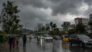
Heavy overnight rain in early August 2026 caused waterlogging and major traffic disruption across the city, with areas including Saroornagar and LB Nagar receiving more than 100 mm of rain during one spell.
Why does rain create so much traffic in Hyderabad?
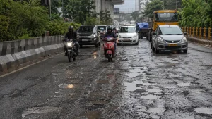
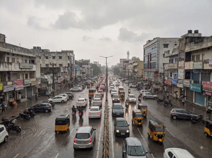
The problem is not rainfall alone. During intense showers, water accumulating at low-lying roads, junctions and underpasses can reduce the usable carriageway.
Vehicles slow down or begin moving through fewer lanes, creating queues that extend into surrounding junctions. That effect becomes more severe during office-hour traffic.
Which areas were affected by the August rains?
On August 4, persistent overnight rainfall resulted in widespread waterlogging and morning traffic disruption. Hyderabad localities including Saroornagar and LB Nagar recorded rainfall above 100 mm during the spell.
Another spell on August 6 affected several parts of the metropolitan area, including Gachibowli, Lingampally, Kondapur, Kukatpally, Ameerpet, Begumpet, Secunderabad and Malkajgiri.
Why is the western IT corridor particularly vulnerable to disruption?
Gachibowli, Raidurg, Madhapur, HITEC City and surrounding areas carry large volumes of office traffic.
When roads are already carrying heavy peak-hour traffic, losing even part of the available road space to standing water can have consequences far beyond the flooded location itself.
Waterlogging points are already mapped by civic authorities
GHMC documentation identifies critical waterlogging locations and, where necessary, alternative routes that can be used during flooding.
Mapping these locations allows civic and traffic authorities to prepare diversions and deploy teams when intense rainfall begins.
Hyderabad Rain and Traffic: Quick Summary
- Recent major disruption: Heavy rainfall on August 4, 2026 caused widespread waterlogging and traffic congestion
- Other affected areas in August: Gachibowli, Lingampally, Kondapur, Kukatpally, Ameerpet, Begumpet, Secunderabad and Malkajgiri
- IT corridor: A June 2026 rainfall episode demonstrated how less than an hour of rain could severely disrupt traffic
- Official preparation: GHMC maintains information on critical waterlogging points and alternative traffic routes
- Commuter advice: Avoid unnecessary travel during intense rainfall and stay away from waterlogged roads
- Last updated: August 17, 2026
Talk to a Specialist
We're here